
Using advanced geospatial technology, a new responsive Web app makes complex and dynamic information easy to use by both sport fishers and government teams.
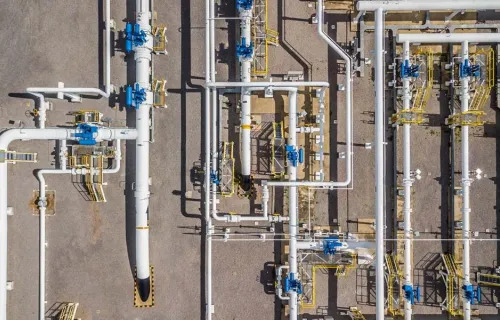
CGI helps Portugal’s gas transport operator to advance their digital transformation to enable a safe, secure and sustainable future.
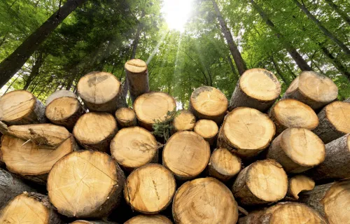
Find out how we partnered with the UK's Forestry Commission to create a working platform, Felling Licences Online (FLO) to provide a digitized and centralized system for processing applications for tree felling.

Using location technologies and data to create smart community platforms Active Travel promotes healthy and sustainable travel in Wales, with the aim of making walking and cycling the preferred ways of getting around over shorter distances. The Welsh Government funds...

CGI and the UK Department for Environment, Food & Rural Affairs (Defra) partner to develop and deploy open-source architecture, tools and cloud-based solutions to provide timely, reliable and cost-effective access to critical, analysis-ready satellite data.

For more than a decade, EDP has partnered with CGI to implement and evolve digital capabilities across its operations.
CGI was a consulting partner for the Core GIS system developed and implemented by Siemens Enterprise Networks and Esri.