CGI (NYSE: GIB) (TSX: GIB.A) has been selected by the Finnish Food Authority to continue developing and maintaining the Finnish Land Parcel Identification System (FLPIS), which supports the calculation of national and European Union farm subsidies paid by the Finnish Food Authority. Under this new agreement, CGI will deliver satellite imagery, artificial intelligence (AI), and cloud computing technologies to help the Authority improve the performance of FLPIS through advanced farmland monitoring and data processing across Finland. The contract is valued at approximately EUR 10 million.
“It is vital that farm subsidies are paid to Finnish farmers on time and in the right amounts,” said Matti Puolimatka, Director-General of the Finnish Food Authority. “Ensuring that this happens requires technology-reliable databases and accurate, up-to-date registration data. FLPIS is a critical system in this respect, which is why we need a partner with the know-how and capabilities to deal with any scenario. CGI has delivered well for us in the past, and we are pleased they were able to submit a competitive tender for this important ongoing work.”
The Finnish Food Authority pays both national and EU farm subsidies in Finland, and FLPIS provides data for calculating subsidies. The amount of aid depends on the area under cultivation, and FLPIS is a hub of geometrical farmland data.
“There were more than 50,000 individual beneficiaries last year alone. Through our managed services partnership with the Authority, our development and maintenance of FLPIS enables these payments to Finnish farmers to be made on time and in the most efficient way possible,” said CGI’s Mikko Uotila, Vice-President, Central Government in Finland.
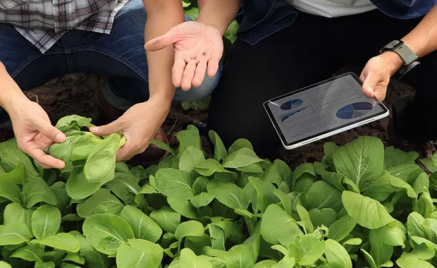
Satellite imagery plays an increasingly crucial role in agricultural land monitoring in the context of the EU’s new Common Agricultural Policy. Data sets generated by satellites are complemented with information collected from farmers and rural affairs authorities by means of online surveys, which seek to establish, for example, which areas farmers intend to cultivate and for which areas they are claiming aid.
Satellite monitoring is one of the key areas of expertise for CGI’s space practice. Sophisticated interpretation of satellite data is a vital part of modern farmland analysis and requires understanding the effects of natural resources on different stages of the growing season, methods of deciphering satellite images based on AI, and ways to enable the calculation of large volumes of data through cloud computing.
For more information on CGI’s space technology capabilities and experience, visit cgi.com/space.
About CGI
Founded in 1976, CGI is among the largest independent IT and business consulting services firms in the world. With 91,000 consultants and professionals across the globe, CGI delivers an end-to-end portfolio of capabilities, from strategic IT and business consulting to systems integration, managed IT and business process services and intellectual property solutions. CGI works with clients through a local relationship model complemented by a global delivery network that helps clients digitally transform their organizations and accelerate results. CGI Fiscal 2022 reported revenue is C$12.87 billion and CGI shares are listed on the TSX (GIB.A) and the NYSE (GIB).
Media enquiries:
Esa Luoto
Communications Director, CGI Finland
+358 50 380 5601
esa.luoto@cgi.com