In this article, Senior Consultant, Akhil Sharma shares how a love of technology and a desire to solve complex problems led him to a rewarding career in geospatial at CGI.
In this article, Lottie Cooper shares how her fascination with maps has led to her shaping a geospatial career at CGI as a Software Engineer – showing how her curiosity is encouraged, creativity thrives and collaboration drives real-world impact through...
At CGI, we are committed to investing in STEM engagement and inspiring young minds to imagine a better future. As part of this commitment, we recently took part in the exciting ‘Building Blocks’ event at The Catalyst in Newcastle, hosted...
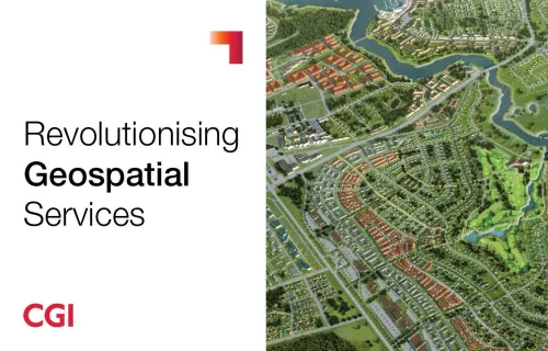
This viewpoint explores CGI Geospatial Services and how harnessing the value of location intelligence can improve policy, operations, and public outcomes across central and local government.

The future of geospatial: Geospatial 2.0
10 February 2025 As a French geospatial expert with a career spanning decades, I’ve witnessed the evolution of our field from static maps to a dynamic, interconnected ecosystem. Today, we’re entering the age of Geospatial 2.0—a revolution that fundamentally changes how we create...
Discover how CGI leverages geospatial technology, Earth Observation, Machine Learning, and Cyber Security to drive digital transformation, enhance efficiency, and unlock the power of location-based insights.

Geospatial insights – helping the UK Government allocate department resources effectively
26 July 2024 How can you use geospatial insights to improve your department's performance and achieve your policy goals? In this blog, I explore how geospatial data can help the UK government level up regions, stimulate economic growth, and bridge departmental interoperability. Geospatial...


