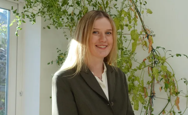
In this article, Lottie Cooper shares how her fascination with maps has led to her shaping a geospatial career at CGI as a Software Engineer – showing how her curiosity is encouraged, creativity thrives and collaboration drives real-world impact through data. Lottie is helping clients see the world in new ways, using location data and spatial analysis to solve real-world problems. Her work combines a deep understanding of geography and physics with a love of technology – from supporting government projects to developing tools that transform decision-making.
November 2025
A passion for understanding the world
I have always loved geography and physics – geography for its insight into our human and physical world, and physics for the deeper understanding it brings. Discovering the power of technology showed me how vital it is in research and bridging domains. Geospatial technology brings these worlds together, linking environmental science, urban planning and disaster management to help people make better decisions for society.
Turning learning into action
I discovered the power of coding as a research tool while at university. I built my practical skills further through a technical bootcamp, gaining hands-on experience that helped me apply my geoscience background in real-world contexts.
Joining CGI felt like the right next step. Since joining, I’ve worked on a range of government geospatial projects – developing backend APIs, automating data transformation pipelines, and building web mapping tools that use spatial insights to support national decision-making and policy planning. CGI’s supportive environment meant I was trusted to take on responsibility early while having support around me. That balance has been key to my growth and confidence as a professional.
Learning, sharing and growing
At CGI I’ve gained a wide range of technical and professional skills, progressing from trainee to software engineer. Each stage has brought new opportunities to learn and contribute.
In my role as a software engineer, I am equipped with tools and experiences and encouraged to keep building on those foundations, gaining confidence across a wide range of scenarios. I’ve contributed to CGI’s software engineering and geospatial communities, where collaboration and shared learning have helped me deepen my technical understanding and stay close to the latest developments in spatial technology.
Looking ahead: inspiring future geospatial innovators
As I look to the next stage of my journey, I want to keep building on my geospatial background while broadening into roles that combine technical expertise with bigger-picture impact. I’m particularly excited about how emerging geospatial technologies, such as real-time data visualisation and automation can continue to transform how we plan and respond to change. Longer term, I see myself leading projects, guiding others, and continuing to grow as an engineer and collaborator.
For anyone thinking about starting a geospatial career at CGI, my biggest advice is to get involved and stay curious. Build a foundation in both software engineering and geospatial science; having at least a working knowledge of both will give you a strong edge.
For me, CGI is a place where you’re encouraged to own your growth, be creative and feel supported every step of the way. That balance has given me the confidence to keep learning and to make a meaningful impact through the work I do.
Find out more about careers at CGI and see whether we have any opportunities for you.