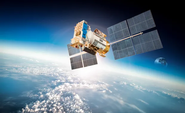
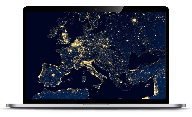
earth observation data map

The power of earth observation


Earth observation is essential for addressing challenges, enhancing sustainability, and environmental disaster prevention.

By leveraging satellite data, scientific communities can gain critical insights into environmental changes, climate dynamics, and human activity, enabling informed decision-making for governments, businesses, and communities.

Experience and expertise

Earth observation data is fundamental to tackling many of today’s issues relating to climate change and understanding the Earth’s natural resources better. Huge quantities of data is being acquired from satellites that can be used to monitor things like coastal erosion, atmospheric chemistry and land usage.

We have one of the largest industrial groups specialising in data processing and developing data-enabled services. We can help turn Earth observation data into actionable information you can trust and act upon.

End-to-end system engineering

We provide full lifecycle system engineering for Earth observation ground segments, from feasibility studies to mission operations, including the design, integration, and management of Payload Data Ground Segments (PDGS).

Mission software and automation

Our expertise includes developing satellite mission control software, automating operations, building simulators, and delivering on-board operational software.

Cyber security and operational resilience

We provide cyber security advisory and operational support to ensure Earth observation missions remain secure, resilient, and compliant with industry standards.

Data processing and cloud solutions

We provide scalable, cloud-based and on-site data processing solutions that automate the entire data lifecycle, from download to archive. Our expertise includes high-performance computing, advanced data fusion using SAR and optical data, and secure, OGC compliant web platforms.


CGI GeoData360


Our CGI Geodata360 is a state-of the -art data processing platform which can empower organisations with the full potential of Earth observation and geospatial data through the delivery of scalable, cost-efficient and reliable solutions to complex industry wide challenges.


Discover the possibilities


Geodata data of semi rural area


View of UK from satellite


EO4SD lab


The increasing readily available space data gathered by Earth Observation (EO) technologies can provide unique opportunities for organisations when fully exploited. Our EO4SD Lab provides a solution for how EO can support global sustainable development activities using cloud based platforms to support the discovery, access, and exploitation of this vital information.


Find out more


Advancing environmental sustainability


Space increasingly provides the information needed to keep people safe from the effects of climate change. We create technologies that enable scientists to monitor the environment from space,  helping to develop our understanding of the Earth.


Explore our project solutions


aerial view of forest and lake