Invasive species, also known as introduced, alien or exotic species, pose one of the greatest threats to biodiversity. These species are not indigenous or native to a particular area and can significantly modify or disrupt biodiversity in the original ecosystems, causing considerable environmental and economic damage.
CGI has a strong track record of helping clients use advanced analytics and machine learning to identify and create new opportunities. The Finnish Transport Infrastructure Agency, which has a large variety and volume of image and registry data, was keen to harness our expertise to solve environmental problems.
To help the agency in its efforts to prevent biodiversity loss, CGI experts developed a machine learning solution for the Finnish Transport Infrastructure Agency to identify invasive species along roadsides.
“Invasive species are a growing environmental problem—perhaps an even greater one than is generally thought. For example, lupins are already such a familiar sight that not everyone realizes how harmful they are. CGI’s solution enables us to identify invasive species along roadsides, which, in the future, will help us target our measures even more efficiently for greater impact,” says Marketta Hyvärinen, Environmental Expert at the Finnish Transport Infrastructure Agency.
Machine learning helps to control mowers
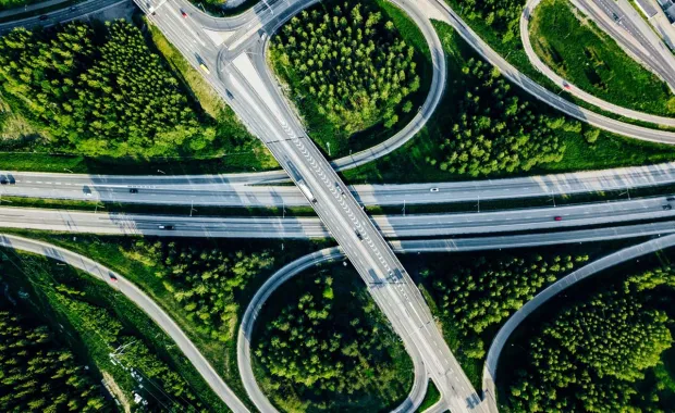
The Finnish Transport Infrastructure Agency has hundreds of millions of photos of the Finnish route network and many different data sources, such as weather cameras and contractors who continuously add images to the archive. Automatic photo identification and linking the findings with, for instance, a data registry on planting locations makes it possible to map previously undetected growths of invasive species and monitor their spread automatically.
As a first step, the machine vision system was taught what it needed to recognize. “To this end, we need photos from as many angles as possible so that the machine learns to perceive the characteristic features of the plants. This learning process requires a massive amount of repetition. The machine learns to recognize the designated plants very accurately only after hundreds of repetitions,” explains Jari Turkia, a lead data scientist in CGI’s Finland operations.
The photos in the archive include location coordinates based on which the observations are placed on the map. The observations are then visualized and enriched with the necessary data.
“Thanks to data generated by CGI’s solution, we’ll be better informed going forward about where invasive species are growing and how large these growths are. Based on this, we’ll be able to direct the planning of mowing schedules and assign work to contractors in the future,” says Hyvärinen.
Adapting to future needs
“The image recognition service we created was designed to be easily adapted to other needs as well. In the future, image analytics can be used for checking whether stormwater drains are in working order, which traffic signs need maintenance, and which stretches of road are suffering from damage during the mud season,” says Turkia.