In December 2022, CGI opened a new Space & Geo Centre of Excellence in Finland to boost the use of satellite and geospatial data. The timing could not have been better, as the current space boom is driven by government and business investments, technological advances, decreasing costs in space and space data analysis, and the realisation of numerous commercial opportunities.
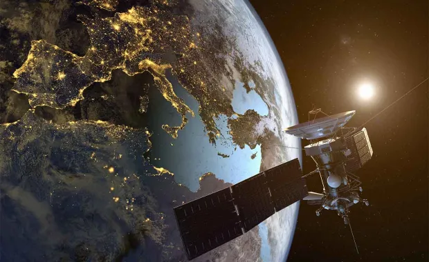
European space investments are currently on the rise, even though the continent's own manned space flights are not yet on the horizon. Instead, current projects of the European Space Agency (ESA) and the The European Union Agency for the Space Programme (EUSPA), together with cloud technologies, data analytics and artificial intelligence, are laying the foundations for new and advanced solutions using satellite and geospatial data.
The best known of these projects is Europe's own satellite navigation system, Galileo, based on radio signals sent by satellites orbiting the Earth and their global tracking network. Built primarily for civilian use, it is similar to the GPS system developed by the Americans, but offers higher accuracy, reliability, continuity and independence from a European perspective. In addition, many of its services are compatible with other global navigation satellite system (GNSS) services (e.g. GPS).
The Copernicus programme is the European Union's environmental information service network, providing nearly real-time Earth observation data of land, sea, atmosphere and climate change from Sentinel satellites. This data can be used in a wide range of sectors of major importance to society – such as transport, agriculture, forestry, urban planning and insurance. In addition, private Earth observation satellites also play a key role for security authorities.
Secure and cost-effective satellite communications
In addition to these two major projects, two other significant programmes are underway. The main mission of ESA's Space Situational Awareness (SSA) is to monitor and track satellites launched by humans into space, monitor and forecast space weather and track celestial objects (e.g. asteroids and comets) approaching Earth.
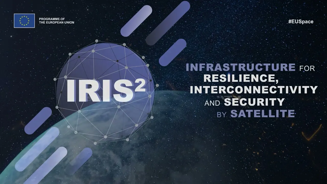
The IRIS² multi-orbital satellite constellation will increase the secure communication capacity for governmental users and businesses in the European Union and support a range of applications in areas such as border management and crisis management. On the commercial side, IRIS² will enable, among other things, wireless and fixed broadband satellite connections.
Unprecedented amount of potential
For five decades, CGI has played a role in the space industry’s success. Partnerships with ESA, European environmental agencies, projects for the US Federal Aviation and Space Administration (NASA) and various security agencies, among others, have strengthened CGI's ability to deliver complex software systems for satellite navigation, communications and control, and Earth observation.
Our new Space & Geo Centre of Excellence aims to contribute to the European space industry’s value chain by providing satellite data-driven information systems and end-user services for the public sector and private operators. These solutions may be related to improving the customer or citizen experience, finding new business opportunities or solving societal challenges. For example, combining satellite data with other data sources can provide accurate vegetation and soil analysis to improve agriculture and forestry operations.
There is an unprecedented amount of potential in the data flowing from space, but from this vast amount of data we need to be able to extract the relevant information for analysis and further processing. I believe that CGI's 2 500 top space experts are ready to meet this challenge.
Kirjoittajasta

Hannu Kämäri
Johtaja
Vastaan Space & Geo -yksikössä avaruuteen ja paikkatietoon liittyvistä palveluista. Intohimonani onkin tieto – erityisesti paikkatieto ja kuinka sen avulla tuotetaan aitoa lisäarvoa ja kilpailuetua yrityksille. Toimialatuntemusta erityisesti metsä- ja maatalousalan sekä elintarviketurvallisuuden ja koko julkisen sektorin parista.