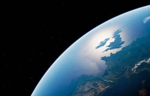
Software is the key to unlocking the full potential of space – for the economy, society, defence, science and even for personal entertainment.
Space in the service of society
Applications and Security
We use satellites in space to help perform a wide range of everyday tasks – often without realising it. Here are just a few examples.
- Weather forecasts rely heavily on data measured by satellites in orbit around the Earth. Software calculates wind speed, direction and height by analysing cloud movements in successive satellite images. The temperature of the ocean surface, statistics of cloud cover and many other important parameters can be extracted from the satellite data.
- CGI has provided software to perform these and related tasks for Europe’s weather forecasters since the 1970s and for their Japanese counterparts since the 1990s.
- We increasingly rely on navigation satellites (“satnav”) to guide us in our automobiles. Trucks, ships, aircraft and even some trains also depend on satnav to get them to their destinations as quickly as possible. Software transforms the time data broadcast by GPS and similar satellites into position and velocity information.
- CGI provided the computer system that verifies the integrity of GPS position data for aircraft in Europe – part of the EGNOS1 system.
Affordable space
Mission control & Enterprise software
Software is crucial to ensure that satellites provide services which are efficient and effective. For example:
- Mission control systems analyse status information radioed to Earth and send commands back to the satellites to ensure they continue to operate correctly.
- CGI supplied the mission control system for Europe’s new 30 satellite Galileo satnav constellation, building on experience of managing scientific, surveillance and commercial satellites since the 1970s.
- Service and network management systems help satellite operators maximise the traffic (and therefore revenue) their satellites can carry.
- CGI has supplied traffic management software to many of the world’s leading commercial satellite operators for more than 20 years.
Technology stretch
Data exploitation, Flight dynamics & Deep space missions
Space systems push technology to the limits and software is no exception. Reliability, flexibility, effectiveness and efficiency are at a premium, so the utmost professionalism is required in designing and implementing space software.
- Surveillance satellites generate enormous quantities of data that has to be captured and processed.
- CGI is designing the next generation of ground processing facilities for the European Space Agency’s Earth Observation missions.
- Ensuring space probes reach their destinations millions of miles from Earth requires in-depth understanding of orbital mechanics and of the space environment.
- CGI has one of the largest industry groups of flight dynamic experts, including a team that developed software to analyse data from the European Space Agency GOCE satellite that measured Earth’s gravity field with unprecedented accuracy.
Key Benefits
- A leader in mission critical software systems for the space industry
- We work on the major European navigation, communication and earth observation programs and are specialists in space security and ground control systems
- Over 35 years’ experience in the space business coupled with commercial and technical expertise
- A reputation for resilient, secure and highly cost-effective programs
- Our highly qualified people bring years of specialist knowledge and experience to space projects
- Our software has supported the missions of more than 200 satellites
- We share innovative uses of space and satellite technology with commercial organisations to help them solve their business problems effectively
1EGNOS – European Geostationary Navigation Overlay Service


