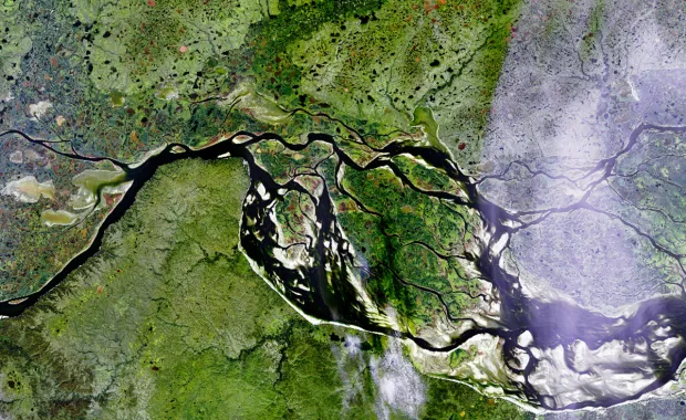
Earth Observation data is fundamental to tackling many of today’s issues relating to climate change contributing to sustainable exploitation of the Earth’s natural resources and mitigating the impact of the natural environment on our businesses and infrastructure. Imagery acquired from satellites can be used to monitor and manage.

This is where CGI can help. We have substantial capabilities in data processing and developing data enabled services. We help turn Earth Observation data into information you can trust and act upon.

Substantially more satellite imagery and a geospatial data explosion are fuelling big data-driven opportunities to better monitor and manage across multiple industry sectors. CGI GeoData360 solves common technical challenges for those aiming to exploit these new opportunities and deploy their applications at scale.

Read the brochure to understand how CGI GeoData360 can help you make the most of Earth Observation data.