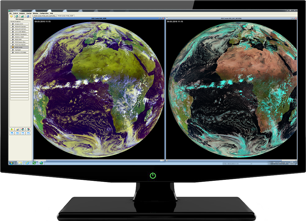
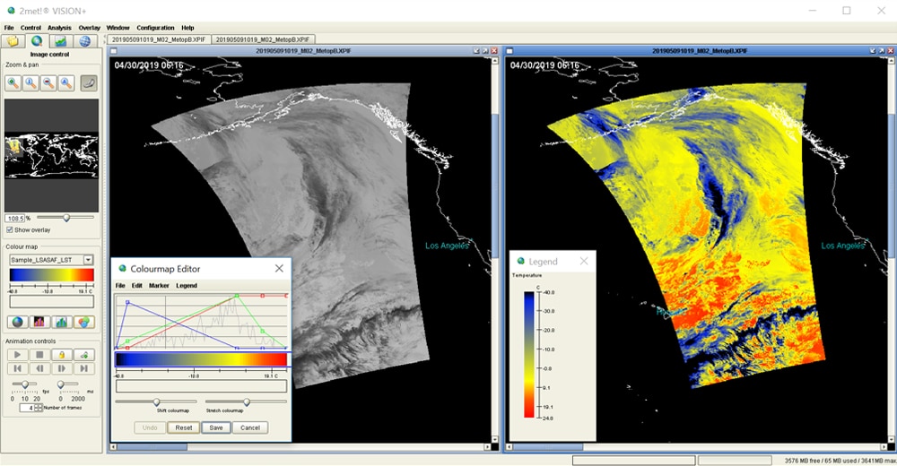
2met!® is a multi-mission concept for real-time data acquisition, processing, visualisation and distribution of meteorological satellite data. It is a commercial off-the-shelf solution, based on standard hardware and software.
2met!® supports a variety of remote sensing satellites such as METEOSAT, MSG, GOES, NOAA, METOP, FengYun, TERRA/AQUA, Suomi NPP and upcoming JPSS as well as telemetry standards in line with the CCSDS recommendation. In addition, we offer our support in upgrading existing systems and subsystems based on the 2met!® software and hardware.
Customers from all over the world rely on 2met!® Products and Services. In more than 30 long-standing maintenance contracts CGI offers different service levels like ad-hoc support or preventive and standard maintenance.
CGI has a long history of developing and maintaining real-time user-critical systems. We build and maintain robust, reliable systems to support vital operations 24 hours a day, 7 days a week.
2met!® TRACKING ANTENNA X/Y
-
Automatic satellite detection and tracking
-
Support for S-, L- and X-band missions such as NOAA, METOP, Feng-Yun, OrbView, TERRA, AQUA, SUOMI NPP and JPSS
-
Control with different data formats (TLE, TBUS)
-
Auto-Track capabilities with a 2met!® DSR III receiver
-
Remote control/remote diagnostics according to SLA agreements
2met!® DSR III DIGITAL SATELLITE RECEIVER
2met!® DSR III enables the reception of several earth observation satellites. The satellite receiver supports data rates from ~0.5Mbps up to ~80Mbps, available in different modulation/encoding formats: 45Mbps with Viterbi R=1/2, 67.5Mbps with Viterbi R=3/4, 78Mbps only with Reed Solomon RS (255.233). It also offers advanced monitoring functions and comprehensive user programmability with various utilities.
Other features:
-
Standard IF input is 1-1.5GHz (e.g. a fixed 720MHz IF)
-
Modulation BPSK / QPSK / OQPSK / 8PSK
-
Software frame synchronization with different standards, e.g. CCSDS or special formats
-
Viterbi decoding for R=1/2 K=7 operation (ESA/NASA standard) in BPSK like "serial" mode (e.g. TERRA), or QPSK like "parallel" mode (e.g. MSG HRIT)
2met!® RECEIVING STATIONS
2met!® DRGS DCP receiving station
-
Direct reception for GOES, EUMETSAT and INSAT DCP missions (150 to 1200 Baud)
-
Customers: SUTRON, OTT, EUMETSAT, IMD, NOAA
-
Our technology: SW demodulator for low rate systems
2met!® GEONETCast receiving station
-
EUMETCast, HimawariCast and FENGYUNCast,
-
Based entirely on Commercial-Off-The-Shelf (COTS) products
-
Platform-independent (Linux and Windows versions available)
2met!® L-Band receiving station
-
Supported CCSDS missions: NOAA HRPT, Metop A-HRPT, FY C-HRPT, SeaWiFS
-
Customers: EUMETSAT, National Weather Services, Military Weather Services, Universities, Research Institutes
2met!® X-band receiving station
-
Direct reception for TERRA, AQUA MODIS, NPP, JPSS and Metop-SG missions
-
customers: EUMETSAT, National Weather Services, Military Weather Services, Universities, Research Institutes
-
Our technology: DSR III digital satellite receiver (up to 60 Mbps), controller, acquisition SW (CCSDS)
2met!® X-/L-band receiving station
-
Combined system for receiving X- and L-band based missions
-
2.4 m to 3.6 m antennas, optionally with radome
Data processing software for various satellite missions:
-
METEOSAT HRI, MSG XRIT, GOES LRIT, MTSAT XRIT
-
NOAA HRPT, FY CHRPT, METOP AHRPT
-
TERRA/AQUA MODIS, NPP, JPSS, ....
2met® Software supports all relevant process steps:
-
Data reception and decoding, data calibration
-
Data positioning and projection on different map formats
-
Combination of spectral channels (fog detection, NDVI, RGB)
-
File conversion to XPIF, PIF, TIF, HDF, GRIB (> 50 data formats)
-
Platform-independent software components enable the use on LINUX, UNIX and Windows hosts (VM)
-
Integration of existing processing programs like IMAPP, IPOPP, CSPP and RT-STPS
-
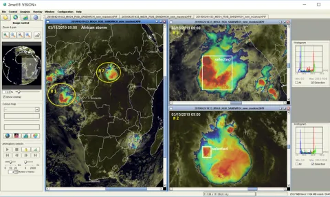
Graphical visualization for meteorologists weather forecast
CGI has a long history of developing and maintaining real-time user-critical systems. We build and maintain robust, reliable systems to support vital operations 24 hours a day, 7 days a week.
-
System integration competence: Handling of turnkey systems and integration of third-party solutions
-
Satellite ground stations, control centres and complex LAN / WAN networks
-
Consulting: System and feasibility studies and technical concepts for end-to-end communication solutions
-
Technical support: requirements specification, system engineering, advanced engineering analysis, system installation and integration, testing (AIV support)
-
Training: operator, system administrator and user training (internal training facilities)
-
Maintenance: service levels according to customer needs (response time, ad-hoc, remote access, etc.)


