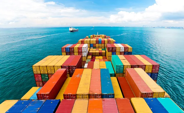
Every day, hundreds of large cargo ships navigate the Scheldt River to and from ports in Flanders and Zeeland. The river is curvy, with shallow spots, strong winds, and tides that can fluctuate up to six meters. The journey requires constant vigilance. The WEsterScheldt Planner (WESP) application helps speed vessels on their way safely and efficiently.
Every centimeter counts
The goal is to navigate safely through the river channel while maintaining sufficient clearance to keep the ship from touching the bottom. If navigation criteria are too conservative, ships carry less than optimal amounts of cargo. But parameters that are too aggressive can jeopardize safety. Even a small difference can have a major impact on efficiency; every extra centimeter of draft allows a ship to carry an additional 150 tons of cargo.
Ensuring ship safety and efficiency
A CGI team in Belgium worked with Flemish and Dutch authorities to develop the WESP application to advise port authorities and pilots on keel clearance safety for ships navigating the river. It combines a static keel clearance calculation (based on water level, draft and channel depth) with ship dynamic components (squat, maneuvering, wave response) to analyze the risk of channel bottom touches. It can maximize port accessibility while maintaining desired safety levels.

Dynamic calculations provide real-time assistance
WESP uses meteorological forecasts and real-time ocean conditions to provide dynamic predictions up to 48 hours prior to sailing. Calculations are customized to take into account vessel type, speeds through the transit, and channel configuration. Static computations can provide planning assistance up to a year in advance, to assist in vessel loading and in planning sailing schedules.